

Colorado Springs weather: Slight chance of snow, high of 43
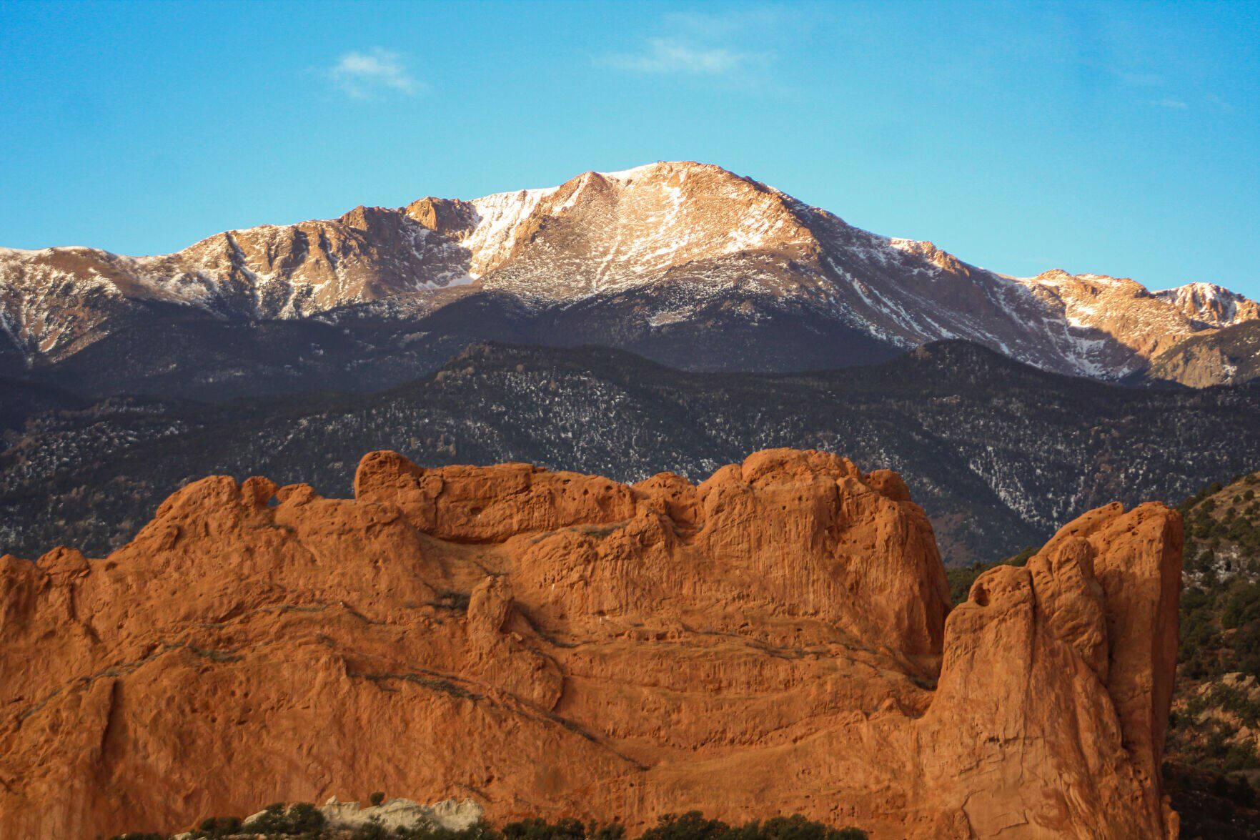
Colorado Springs residents can expect a 20% chance of snow showers after 5 p.m., Sunday with partly sunny skies and a high near 43. Southwest wind 5 to 15 mph becoming south southeast in the morning, according to the National Weather Service in Pueblo.
Scattered snow showers are expected in the mountains today. A few of these showers will pass onto the I-25 corridor by late afternoon. Light accumulations are expected in the mountains and along the I-25 corridor region.
For tonight, a more substantial disturbance will push across the region, and this will continue to bring the threat of snow over the mountains. Some snow will also be possible across the I-25 corridor region, especially areas north of a line from roughly Colorado Springs to Pueblo to La Junta and Lamar. Localized accumulations to 1 inch will be possible, especially across the northeast sections of El Paso county.
Here is the full forecast from the National Weather Service.
Monday: A 50% chance of snow showers. Partly sunny, with a high near 38. North wind 5 to 15 mph. New snow accumulation of less than a half inch possible.
Tuesday: Sunny, with a high near 49. West wind 5 to 10 mph becoming south 10 to 15 mph in the afternoon.
Wednesday: Sunny, with a high near 62. West northwest wind 5 to 15 mph becoming south in the morning.
Thursday: Sunny, with a high near 65. Breezy, with a south southwest wind 15 to 20 mph increasing to 20 to 25 mph in the afternoon. Winds could gust as high as 40 mph.


Some pointed questions for the gubernatorial hopefuls | George Brauchler
George Brauchler
george-brauchler@gazette.com
Updated 11 hours ago
Earlier this month, the Republican and Democratic candidates for governor participated in a televised interview moderated by well-known, left-leaning legacy media folks. Predictably, the questions asked of the GOP candidates were more aggressive, pointed, biographical and almost entirely disconnected from...
Chaotic funding throws monkey wrench into governor’s-race money madness | Paula Noonan
Paula Noonan
paula-noonan@coloradopolitics.com
Updated 11 hours ago
Chaos Monkey, Inc., gave a trifle $20,000 donation to Rocky Mountain Way (RMW), the independent expenditure committee (IEC) supporting U.S. Sen. Michael Bennet for Colorado governor. But why, Coloradans should ask, would a guy who has assigned his contributor name...
10th Circuit dismisses Tina Peters’ challenge to confinement as moot
Michael Karlik
michael.karlik@coloradopolitics.com
Updated 12 hours ago
The Denver-based federal appeals court granted the state’s unopposed request on Wednesday to dismiss former Mesa County clerk Tina Peters’ challenge to her confinement as moot. Although Peters received a commutation of her prison sentence last month from Gov. Jared...
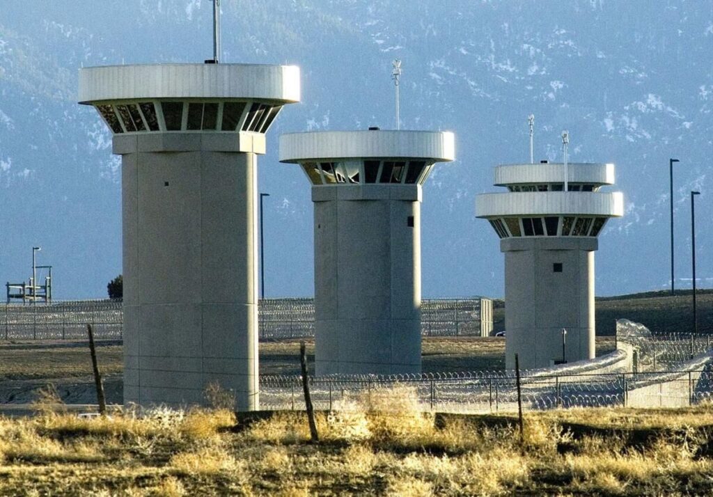
Federal judge declines to recuse from death penalty case after Supermax visit
Michael Karlik
michael.karlik@coloradopolitics.com
Updated 13 hours ago
A federal judge declined to recuse herself last month from a death penalty case arising out of Colorado’s “Supermax” prison, finding that her tour of the facility earlier this year did not bias her decision-making. U.S. District Court Judge Charlotte...

Colorado legislators, candidates differ over social media regulations for minors
Bethany Johnson
bethany.johnson@denvergazette.com
Updated 12 hours ago
Following the 2020 accidental overdose of her daughter, Colorado’s Patti Lujan is still pursuing a lawsuit against Snapchat, the social media platform she claims connected her daughter with a drug dealer, police said. Lujan, like many parents, is looking for...
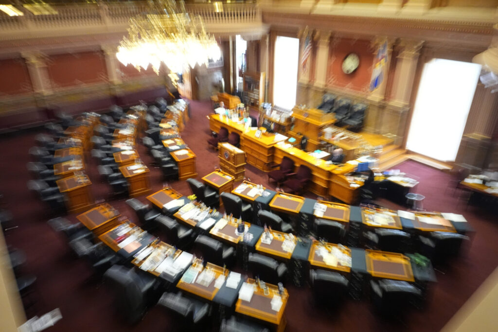
Colorado state Senate: Meet the primary election candidates
Marianne Goodland
marianne.goodland@coloradopolitics.com
Updated 11 hours ago
Colorado’s June 30 primary features a slate of state Senate contests, with several incumbents stepping aside and competitive fields emerging in both parties. These are some of the races to watch as voters begin to submit ballots. Senate District 3:...

Top five hot mic moments from world leaders at G7 Summit
David Zimmermann Washington Examiner
davidzimmermannwashingtonexaminer@wpstage.coloradopolitics.com
Updated 15 hours ago
As the 52nd annual G7 Summit came to a close on Wednesday in France, world leaders not only discussed diplomacy front and center, but also engaged in lighter conversations on the sidelines. There were many hot-mic moments in which President Donald...
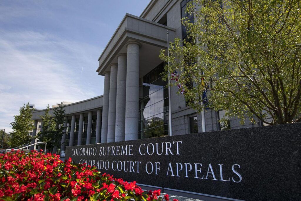
Appeals court clarifies offense of impersonating a peace officer
Michael Karlik
michael.karlik@coloradopolitics.com
Updated 18 hours ago
Colorado’s second-highest court clarified this month that a person commits the offense of impersonating a peace officer if they engage in “any conduct” while pretending to be law enforcement. In a case out of El Paso County, Richard James Coulier...
When having fun gets a little, or a lot, messy | NONPROFIT REGISTER
Joanne Davidson Special to Colorado Politics
joanne-davidson-special-to-colorado-politics@coloradopolitics.com
Updated 18 hours ago
CHILDREN’S MUSEUM OF DENVER AT MARSICO CAMPUS Denver News: If your child’s definition of a good time is to dive head-first into a giant mound of mud, or to dance their hearts out in pools of fluffy foam, consider paying a visit...

Hickenlooper raises $900K since April, heads into primary with almost $3 million on hand
Ernest Luning
ernest.luning@coloradopolitics.com
Updated 13 hours ago
U.S. Sen. John Hickenlooper raised just over $900,000 for his reelection bid in the 10-week pre-primary reporting period, the Colorado Democrat’s campaign said Wednesday. The campaign finished the period with almost $3 million in the bank, with more than 80%...