

Colorado’s water watchers celebrate wettest year in some areas in 128 years
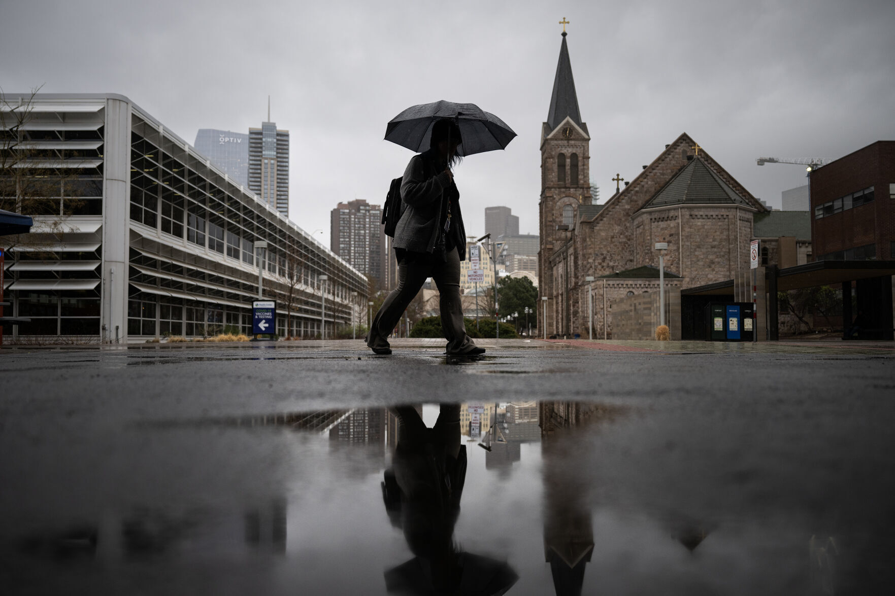
Residents living along Colorado’s northern Front Range and Northeastern Plains experienced a pretty wet year – the wettest, in fact, in 128 years.
And water experts expect this winter isn’t likely to be much different.
Becky Bolinger, assistant state climatologist at the Colorado Climate Center, said those areas had the wettest year since the state started keeping those records 128 years ago.
Bolinger reviewed the water year that will end on Sept. 30 with the state’s Water Availability Task Force on Tuesday.

Those wet conditions were a double-edged sword, Bolinger said. Record storms, particularly in June, also produced the most severe weather reports on record.
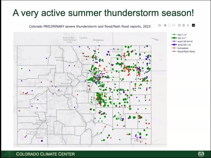
The 310 reports included thunderstorms and flash floods, as well as active hailstorms with 2-inch diameter hailstones. July and August look to be in the Top 10 for record weather, she added.

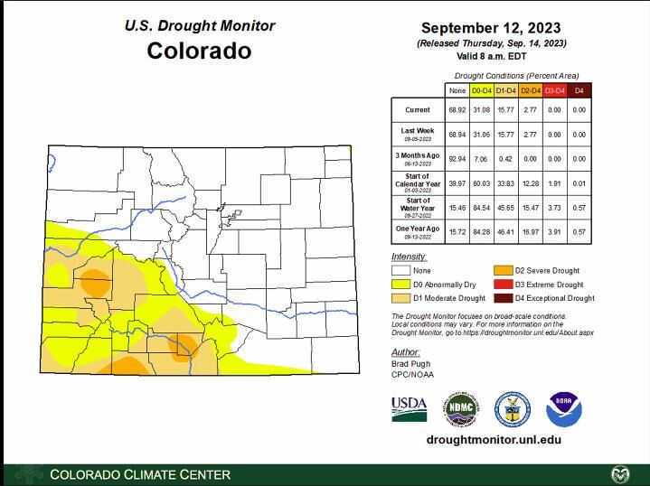
But the wet conditions didn’t arrive in the San Luis Valley or the Sangre de Cristo mountain area, which showed a some of the area with some of the driest conditions on record. Alamosa had its driest summer ever, although September has been better, she added.
Even southeastern Colorado, which has been plagued by drought for several years, had better moisture this summer.
It’s also been cooler this year except in August, which was the 10th warmest on record, Bolinger said.
That largely means evaporative demand – which shows the “thirst of the atmosphere” – has been normal or even a little below normal. Western Colorado is the exception, a region of the state where it’s drying out and putting stress on vegetation.

About 31% of the state is in some level of drought, but at the lowest levels. The affected areas are entirely in southwestern Colorado, and Bolinger said those conditions developed since early to mid-July. But that’s an improvement from where Colorado stood at the beginning of the water year last Oct. 1.
For the fall, the forecast predicts above average temperatures and an El Niño pattern, which means above average moisture. That pattern – Bolinger characterized the forecast as a moderate to strong El Niño winter – could continue through the spring.
That might not be the best news for some of Colorado’s northern ski areas. Bolinger explained that the northern mountains tend to do better in drier La Niña years, rather than El Niño years. Overall, however, the state benefits more from El Niño conditions, she added.
That also means that drought conditions are less likely to develop during the winter, with the exception of northwest Colorado. She also believes the winter snowfall may start a little later, with hopes the wet summer will keep soil moistures comfortable until the snows start.
What all this summer moisture means for reservoirs and stream flows came from Karl Wetlaufer of the Natural Resources Conservation Service at the U.S. Department of Agriculture.
And there’s a lot of good news.
Many reservoirs are full or nearly so after years of below average levels. In some reservoirs, water levels are at nearly 10-year highs, he said, such as for the reservoirs along the South Platte.
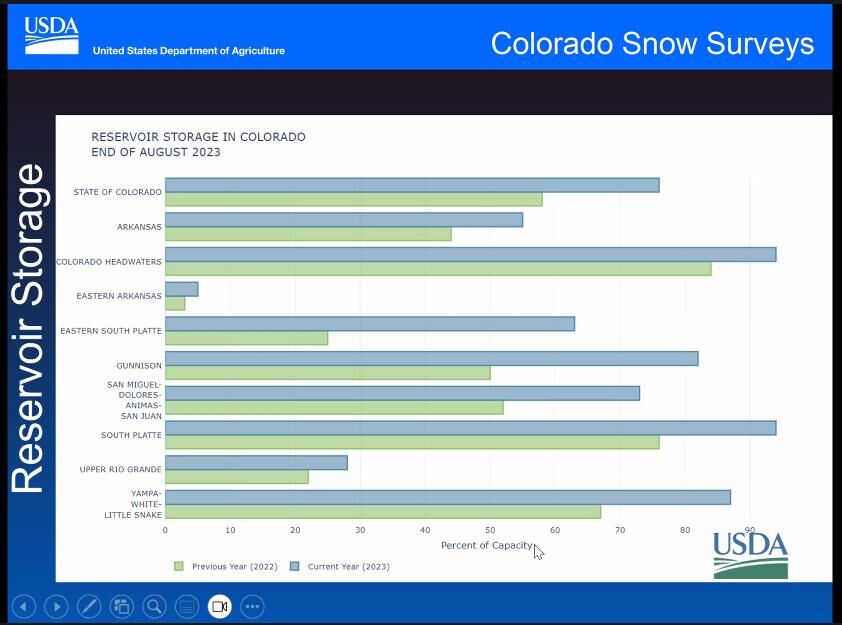
Reservoirs in the Gunnison River basin, which a year ago were at some of their lowest levels in 30 years, have made dramatic improvements, Wetlaufer said.
One report shows Blue Mesa, the state’s largest reservoir, with 50 feet more water than in 2021 and only 10 feet below full capacity. On the other hand, Navajo Reservoir, in southwestern Colorado, hasn’t fared quite as well.
In the San Luis Valley, home to the upper Rio Grande River basin, most reservoirs are at normal levels, he said. That follows three years of grim reservoir levels, Wetlaufer explained.
Reservoirs in the Arkansas Valley are mostly at normal levels, with Pueblo Reservoir well above average.
What does this year’s snowmelt mean for streamflows?
Almost everywhere is “impressive,” Wetlaufer said, noting record streamflows in rivers is many parts of the state, with some exceeding records going back 50 to 100 years.


Protecting satellites in space, on the ground a priority for Colorado companies
Alexander Edwards
alexander-edwards@coloradopolitics.com
Updated 14 hours ago
As the Department of Defense moves toward utilizing more commercial partnerships, building a resilient space-based commercial field is contingent on several factors, according to industry leaders at the annual Warfare Symposium in Aurora. The symposium features businesses of all sizes...
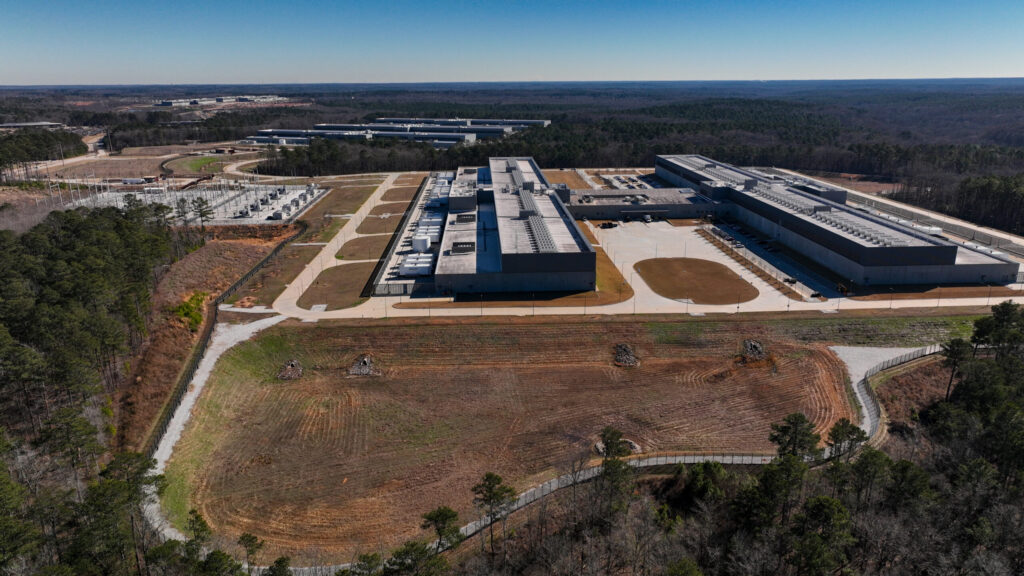
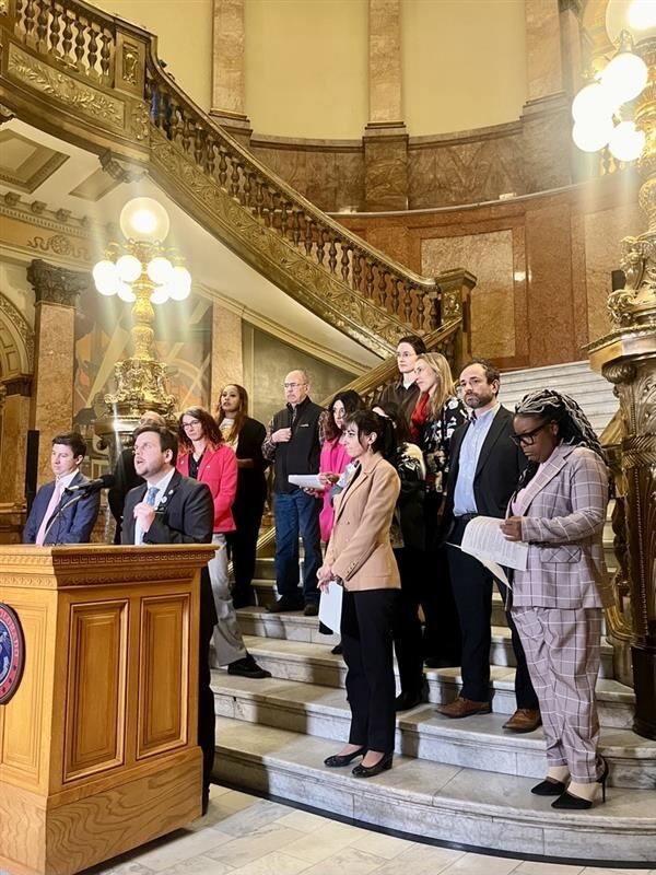
Colorado lawmakers mull competing bills on data centers
Scott Weiser
scott.weiser@gazette.com
Updated 3 days ago
A Colorado coalition of data center developers and operators is urging lawmakers to pass a proposal that offers tax breaks to attract large facilities, while calling a competing bill a major obstacle to new investment. Meanwhile, proponents of the latter...
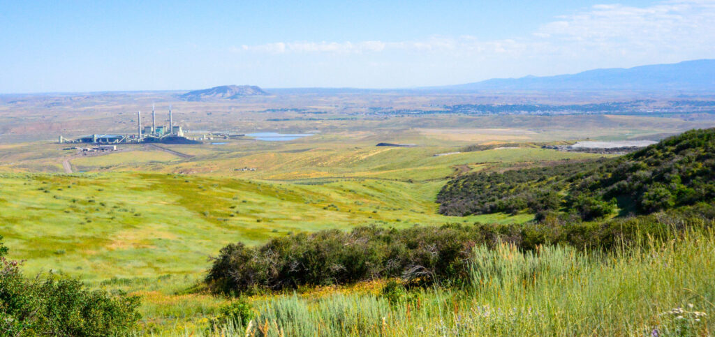
CU Boulder, state launch economic research in coal-transition areas
Scott Weiser
scott.weiser@gazette.com
Updated 2 weeks ago
Communities in northwest Colorado built on coal mining and power plants are losing hundreds of high-paying jobs and a major share of their tax revenue as operations wind down. In a yearlong effort, the University of Colorado Boulder is teaming...
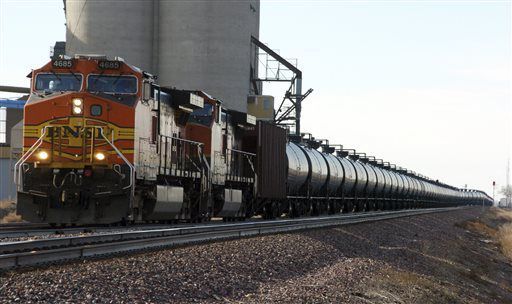
Colorado joins lawsuit against Trump energy emergency order
Scott Weiser
scott.weiser@gazette.com
Updated 3 weeks ago
Colorado Attorney General Phil Weiser joined a multistate lawsuit challenging an executive order invoking the National Emergencies Act that President Donald Trump issued on the day of his inauguration. The order fast-tracks fossil fuel projects by bypassing or shortening environmental...
More people are now leaving Colorado than moving here from other states | Vince Bzdek
Vince Bzdek
vince.bzdek@gazette.com
Updated 4 weeks ago
By Vince Bzdek It’s finally happened. Buried in all the self-congratulatory reports about Colorado reaching the 6 million mark in population last year was news that should be keeping our political leaders up at night. For the first time in...
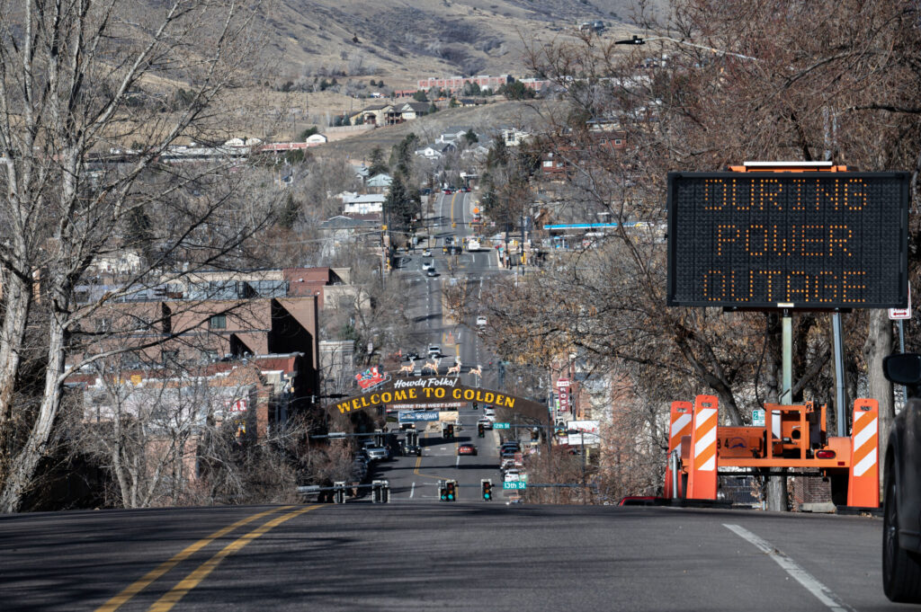
Xcel gets an earful from public for power shutoffs in Colorado
Scott Weiser
scott.weiser@gazette.com
Updated 4 weeks ago
Residents, business owners and local officials gave Xcel Energy an earful during a hearing convened by Colorado’s utility regulators on Wednesday, accusing the power company of using power shutoffs as a liability dodge that burdens communities. Xcel’s ability to trigger...
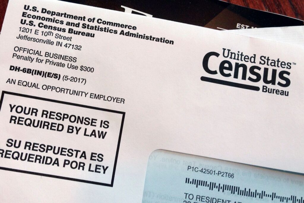
Colorado hit a population milestone in 2025; numbers ‘don’t lie,’ but what do they say?
Stephanie Earls
stephanie-earls@coloradopolitics.com
Updated 4 weeks ago
Colorado is: full Standing room only How ‘bout, More crowded than it was but less crowded than we thought? Local takeaways from the U.S. Census Bureau’s most recent data drop are too complex for bumper sticker treatment, but here’s the...
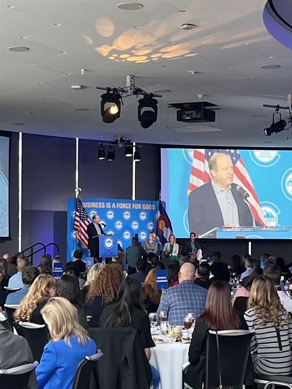
Gov. Polis highlights Colorado’s business climate and affordability during annual gathering
Marissa Ventrelli
marissa.ventrelli@coloradopolitics.com
Updated 4 weeks ago
Gov. Jared Polis used his annual meeting with Colorado business leaders on Wednesday to take stock of his time in office, highlighting the state’s pandemic response, ongoing challenges facing downtown economies, and what he described as continued efforts to balance...
Colorado’s unemployment rate fell again in December
Bernadette Berdychowski
bernadette.berdychowski@denvergazette.com
Updated 1 month ago
Colorado’s unemployment rate fell to 3.8% in December, according to new data released Tuesday. The rate dropped one-tenth of a percentage point, following a monthslong trend of declining unemployment in the state, according to the Colorado Department of Labor and...
Colorado Democrats introduce bills on pricing, data privacy
Marissa Ventrelli
marissa.ventrelli@coloradopolitics.com
Updated 4 weeks ago
Democratic lawmakers have introduced a trio of bills dealing with data privacy and the retail and wholesale prices of goods. Sponsors said the bills would help Colorado consumers and small businesses tackle affordability woes. They are among a slew of...
PREV
PREVIOUS

Mike Johnston promised to house 1,000 homeless people by year's end — he's 10% there, data shows
About 100 homeless people have so far found shelter through Denver’s services since Mike Johnston took office as the city’s new mayor in July. The number – 101 as of Sept. 15, to be exact – represents 10% of the mayor’s promise to take 1,000 homeless individuals off the streets by year’s end. It also reflects […]
Race, emotion, the death penalty: Colorado Supreme Court weighs reversing murder convictions of Sir Mario Owens
A man convicted of two of the most high-profile murders in recent state history may receive a new trial if the Colorado Supreme Court agrees racial bias in jury selection or improper evidence were factors in the 2008 trial of Sir Mario Owens. Over several weeks, Arapahoe County prosecutors presented evidence that Owens was responsible […]