

Intact Denver-area cities map
Intact Denver-area cities map
Two variations on a map drawn to keep Denver’s cities from being split, which fits into the rural counties’ proposed map
What’s interesting about this plan?
• The plan would create an upside-down U shape that includes the Denver metro area’s highest minority composition neighborhoods, combining parts of Lakewood in the west, with portions of Adams County on the northern border of Denver and much of Aurora to the east of Denver.
How will it affect other criteria?
• The plan would divide many cities and counties in the Denver area.
• The partisan split of the map would give Democrats four solid districts, with two solid Republican districts and two Republican-leaning districts.

Colorado to get $75 million from opioid settlement with Purdue Pharma
Marissa Ventrelli
marissa.ventrelli@coloradopolitics.com
Updated 4 hours ago
A $7.4 billion settlement reached with the pharmaceutical company Purdue Pharma and the Sackler family — its owners — is now legally effective a decade after attorneys general from multiple states launched an investigation and seven years after Colorado filed...
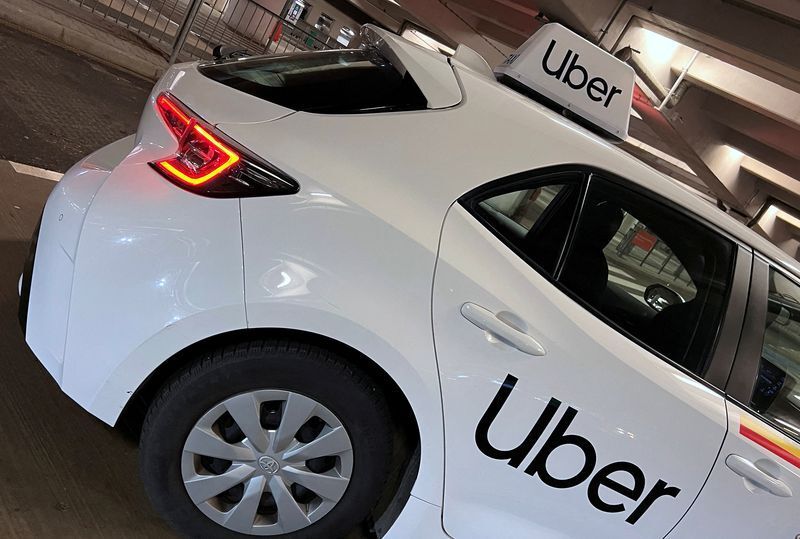
Committee approves reworked version of previously vetoed rideshare bill
Marissa Ventrelli
marissa.ventrelli@coloradopolitics.com
Updated 7 hours ago
Members of the Colorado House Business Affairs and Labor Committee voted across party lines to pass a modified version of a bill establishing regulations on rideshare companies. Last year, Reps. Jenny Willford, D-Northglenn, and Meg Froelich, D-Englewood, introduced House Bill...
Fight over credit card ‘swipe fees’ attracts nearly 200 lobbyists in Colorado
Marianne Goodland
marianne.goodland@coloradopolitics.com
Updated 4 hours ago
One of the most expensive fights of the 2026 session got a little closer to being over on Friday, when the Colorado Senate took a second final vote on the proposal to eliminate “swipe fees” on sales taxes. It’s not...
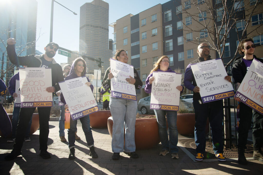
Veto likely as union-backed bill heads to Colorado governor’s desk — again
Marissa Ventrelli
marissa.ventrelli@coloradopolitics.com
Updated 4 hours ago
For the second year in a row, a bill that would make it easier for labor organizations to impose fees on all workers, regardless of union membership, is headed for Gov. Jared Polis’ desk. The governor, who vetoed the legislation...

Aurora mental health nonprofit cuts 100-plus jobs after Colorado agency reduces reimbursement rate
Marianne Goodland
marianne.goodland@coloradopolitics.com
Updated 11 hours ago
A nonprofit that provides services through 11 mental health centers in Aurora announced Thursday that it is eliminating 111 jobs effective June 30, the result of federal and state budget reductions. Aurora Mental Health & Recovery said the positions being...
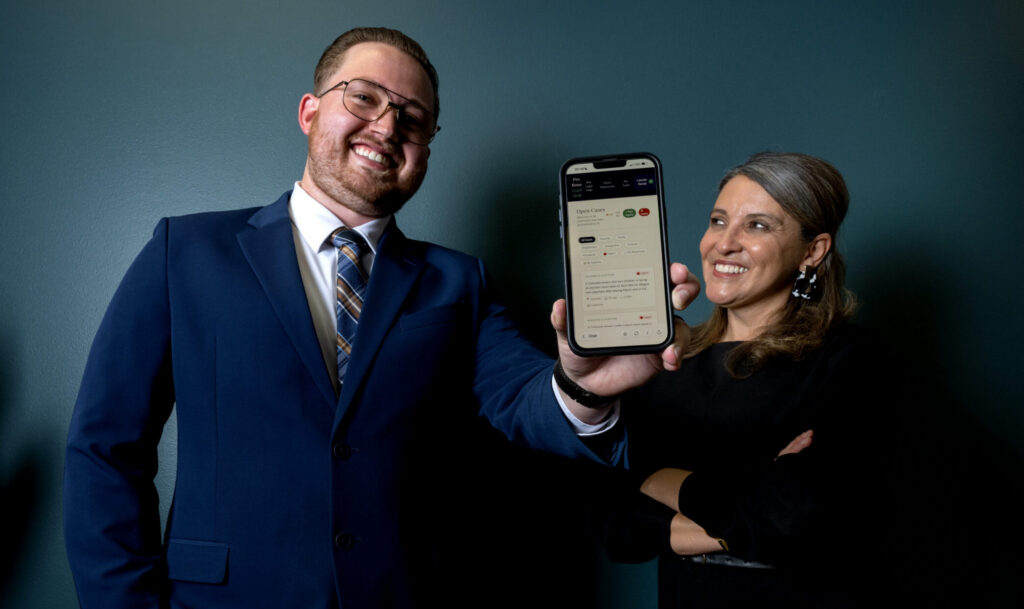
Denver law students create AI-powered tools in federal judge’s ‘design sprint’
Michael Karlik
michael.karlik@coloradopolitics.com
Updated 56 minutes ago
A tenant discovered a handwritten note on his door stating he had 48 hours to move out. The landlord changed the locks without notice or court proceedings. The tenant paid rent on time and had never received any complaints about...

‘Move fast and break things’ not way to fix Colorado’s roads | GUEST COLUMN
Colorado Politics
colorado-politics@coloradopolitics.com
Updated 23 hours ago
By Donna Lynne, Kelly Nordini and Rebecca McClellan This month, after the effects of federal H.R. 1 hit Colorado’s budget like a sledgehammer, Colorado lawmakers had to cut more than $1.5 billion from our state budget, leaving virtually no corner...
Amid Colorado’s new rail moment, losing digital infrastructure an economic death sentence | GUEST COLUMN
Colorado Politics
colorado-politics@coloradopolitics.com
Updated 23 hours ago
By Taylor Henderson In 1867, former Colorado territorial Gov. John Evans looked at a room of Denver merchants and delivered a blunt warning: the city was “too dead to bury.” At the time, the Union Pacific Railroad bypassed Denver, and...

Common-sense guardrails for new data center development benefit people, the planet | GUEST COLUMN
Colorado Politics
colorado-politics@coloradopolitics.com
Updated 23 hours ago
By Joe Antus Colorado’s business leaders are right about one thing: Colorado is at an inflection point. In a recent letter to Gov. Jared Polis, members of the technology and business community argued Colorado’s innovation economy must not only grow,...

Colorado space startup secures $650 million for expansion
alex-edwards
alex.edwards@gazette.com
Updated 1 day ago
The window to deliver space superiority for the U.S. is open but shrinking rapidly, according to defense startup True Anomaly. The Centennial-based company hit a milestone in its pursuit to help deliver that, announcing Tuesday that it raised $650 million...