

Colorado weather watchers look toward end to La Niña and a wet summer
Coloradans could look forward to a somewhat wetter summer this year, according to information presented Tuesday to a coalition of water watchers.
The Colorado Water Conditions Monitoring Committee, formerly known as the Water Availability Task Force, looked over recent snowpack, precipitation, soil moisture, drought and reservoir levels throughout the state.
While most of the state is doing relatively well, there are some areas that will require substantial moisture in the coming weeks.
That includes southwestern Colorado and the basin that consists of the Dolores, Animas, San Juan and San Miguel rivers.
Also struggling is the upper Rio Grande in Colorado’s San Luis Valley.
Russ Schumacher, director of the Colorado Climate Center at Colorado State University, told the group that February was extremely warm on the Western Slope, in contrast to the average precipitation for that month. The Eastern Plains fared the best in terms of rainfall and experienced colder-than-usual temperatures, according to Schumacher.


The past winter was among the warmest and driest on record for western Colorado. While the mountains received decent snowfall, it wasn’t enough to make up for deficits from the previous winter, Schumacher said.
Alamosa had its warmest February on record.
As for snowfall, the northern and central mountains all recorded above-average snowfall, while the southeastern and southwestern regions of Colorado saw well below-average snowfall, which could increase the risk of wildfire activity.
Grand Junction saw eight days in February, when the city recorded temperatures at 65 degrees, a new record.
Regarding drought, the U.S. Drought Monitor’s most recent map indicates that about half of the state is experiencing some form of drought, with two tiny pockets in Larimer and Weld counties, as well as southern Colorado, experiencing the worst drought. However, the expectations are for a worsening drought in the southwest and a return to drought on the Eastern Plains.

Deep and shallow soil moisture, checked at 8 inches below the surface and 20 inches, is declining on the northern Front Range but is doing “OK” in southeastern Colorado, he said. Much of that is attributable to an intense snowstorm last November, the results of which are still helping to improve various climate conditions four months later.

Snowpack
This is the time of year when water watchers are closely monitoring the snowpack and how quickly it melts.
In the upper Rio Grande for example, the peak snowpack is in nine days. To reach the average, the area would need about 6 inches of liquid, or a snowstorm, according to NASA’s calculations, of about 60 inches.
Schumacher also noted that “La Nina,” the climate pattern characterized by cooler temperatures in the Pacific, is on its way out. In the southwestern U.S., that means a turn away from warmer, drier conditions.
“Early outlooks suggest an active summer monsoon season,” Schumacher said.
There’s hope for April — he indicated — the wettest month of the year for the Front Range, northern Colorado, and lower elevations of northwest Colorado.
Snowpack was also part of the focus from Brian Domonkos, a hydrologist with the Natural Resources Conservation Service, part of the US Department of Agriculture.
Colorado is expected to reach its peak snowpack in about 15 days, statewide, according to Domonkos.
It’s not a great year, but it’s better than 2012, when the snowpack peaked in early March, he said.
He’s hoping for storms in the next week to two weeks that will improve the snowpack.
Where it looks the best is the northern half of the state, including the South Platte basin and the Colorado River headwaters area.
Where it looks the worst is the upper Rio Grande, where snowpack is closer to 2012 levels.
The good news is the state’s reservoirs, most of which are at near normal levels, except for the reservoirs in the southwest.

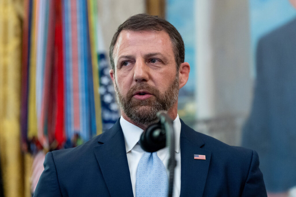
Five ways Mullin is already pushing DHS in a new direction
Anna Giaritelli Washington Examiner
anna-giaritelli-washington-examiner@coloradopolitics.com
Updated 3 minutes ago
The Trump administration’s newest Cabinet secretary, Markwayne Mullin, has already begun to implement major changes across the Department of Homeland Security Mullin replaced President Donald Trump’s first DHS secretary, Kristi Noem, and was an unexpected pick to lead the department...
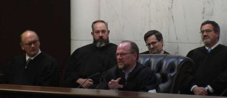
Appeals court finds Prowers County judge incorrectly analyzed firetruck collision lawsuit
Michael Karlik
michael.karlik@coloradopolitics.com
Updated 20 minutes ago
Colorado’s second-highest court directed a Prowers County judge last month to take a second look at whether a firetruck operator and the county itself can be held liable for a collision with a motorist. Donald Williamson was driving through a...
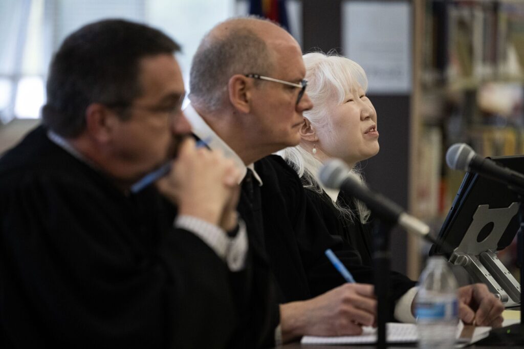
Appeals court reverses assault convictions after jury received no definition of ‘harm’
Michael Karlik
michael.karlik@coloradopolitics.com
Updated 2 hours ago
Colorado’s second-highest court reversed an Arapahoe County defendant’s assault convictions last week, concluding the trial judge neglected to define a key, ambiguous term for jurors. Police officers arrested David Cristobal Aragon at a house party for allegedly violating a restraining...
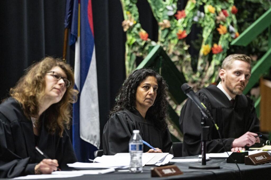
Colorado counties cannot challenge state law restricting immigration contracts, appeals court says
Michael Karlik
michael.karlik@coloradopolitics.com
Updated 12 minutes ago
Colorado’s second-highest court ruled on Thursday that counties lack standing to challenge a 2023 state law that restricts their ability to contract with the federal government or private entities for immigration detention. A three-judge Court of Appeals panel agreed with...
House GOP stalls Colorado budget debate by forcing full reading of 661-page bill
Marianne Goodland
marianne.goodland@coloradopolitics.com
Updated 2 hours ago
A procedural battle at the Colorado Capitol boiled over Wednesday night, when a House Republican triggered one of the chamber’s most time‑consuming tactics, demanding the 661‑page state budget be read aloud in full — a move that halted progress on...

Colorado lawmakers propose changes to family court procedures | Bills in Brief
Marissa Ventrelli
marissa.ventrelli@coloradopolitics.com
Updated 20 hours ago
Colorado lawmakers introduce hundreds of bills each year. Bills in brief cuts through the noise by explaining which proposals matter, what’s at stake, and how decisions at the Capitol could affect everyday life across the state. Colorado lawmakers from both parties are...

Aurora City Council delays vote on operating agreement for ICE, police
Kyla Pearce
kyla.pearce@gazette.com
Updated 4 hours ago
Aurora City Council members delayed a vote Monday on a memorandum of understanding that outlines guidelines for Aurora police officers responding to the GEO Immigration and Customs Enforcement facility. Since the facility is in Aurora, the Aurora Police Department is...
Federal judge partially allows second World Cup trafficking lawsuit to move forward
Michael Karlik
michael.karlik@coloradopolitics.com
Updated 22 hours ago
A federal judge allowed some claims to move forward last month against companies operating out of Colorado that allegedly participated in a human trafficking venture involving Filipino laborers who constructed facilities for the 2022 World Cup in Qatar. There are...

Melania Trump hails first conviction under new law banning AI-generated child sex abuse images
Rena Rowe, Washington Examiner
rena.rowe.washington.examiner@gazetteedit.wpenginepowered.com
Updated 23 hours ago
First lady Melania Trump highlighted on Tuesday the first arrest tied to a law she championed targeting cyberstalking, threats of violence, and non-consensual explicit content generated using artificial intelligence. James Strahler II, 37, of Columbus, Ohio, pleaded guilty Tuesday to...
Federal judge dismisses lawsuit seeking to force Colorado secretary of state to screen out scam filings
Michael Karlik
michael.karlik@coloradopolitics.com
Updated 17 hours ago
A federal judge dismissed a lawsuit last week that sought to require Colorado’s secretary of state to verify corporate filings in the state’s database to reduce the risk of future fraud. Bernard Butts of Florida, who was 83 when he...