

North Denver’s new mapping tool expands its features and functionality


Denver recently rolled out an updated version of its mapping tool that helps commuters navigate around construction zones in the northern area of the city.
By using data that is now automatically updated on a daily basis, the “Navigate – North Denver” tool is further equipped to ease commutes through parts of the city where major infrastructure projects may interfere with mobility.
“We know the huge impact construction puts on the community … so we have expanded the platform,” said Leesley Leon, spokeswoman for the North Denver Cornerstone Collaborative, the city agency leading the project.
As part of the update, the tool’s reach now includes boundaries of Federal Boulevard to the west, Ivy Street to the east, Colfax Avenue to the south, and the Denver boundary to the north.
Another enhancement is map accessibility in Spanish, which includes information regarding bus stops, emergency care centers, schools, businesses and parks.
“If we want an equitable city, we knew that it had to be accessible in multiple languages,” Leon said.
The city has been working to build a more robust platform since it launched in September 2018. The biggest change to the platform will likely be the one that goes least noticed, the agency said, which was moving the platform to “high-quality” GIS mapping software to improve the tool’s functionality.
The platform migration follows a year of steady use from the community.
“The initial version of this map has garnered more than 32,000 views in the last year, so we know there is a need for a tool such as this one,” said NDCC executive director Tim Sandos in a statement.
“This is why we have been working diligently to deliver an accessible tool to the community that not only helps their daily commutes,” he said, “but also provides them with a single point of access to information about projects in their area.”
The latest version of the tool updates every day automatically using data from the city’s permitting system. That information allows the map to offer turn-by-turn directions to locations within its “Navigable Area,” similarly to Google Maps.
Now NDCC is working to publicize the tool through avenues like social media and sending text push alerts. They are hoping to gather feedback from the community to continue improving the tool, and also to gain more users.
“More views means more uses,” Leon said, which tells the agency they’re “doing something helpful.”
The project is a joint effort between multiple government agencies, including Denver Public Works and the Department of Finance.
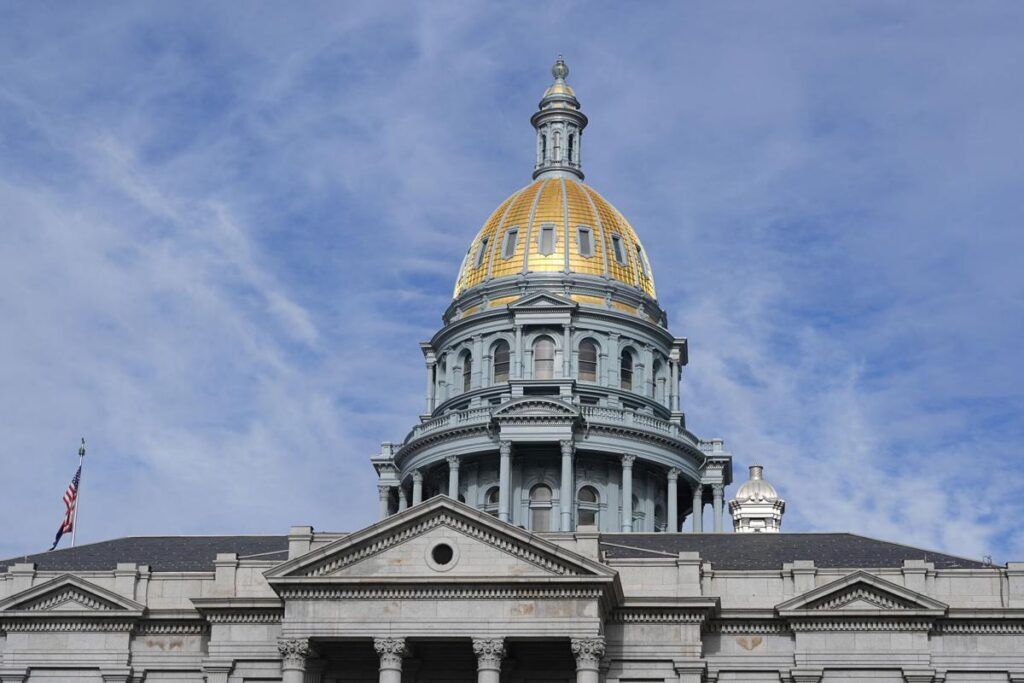
Colorado justices accept appeals on Netflix taxation, children pursuing neglect cases
Michael Karlik
michael.karlik@coloradopolitics.com
Updated 31 minutes ago
The Colorado Supreme Court announced on Monday that it will decide whether Netflix subscriptions are subject to the state’s sales tax as “tangible personal property.” At least three of the court’s seven members must agree to hear an appeal. The...
Proposal outlines $300M deal separating Pinnacol from Colorado state government
Marianne Goodland
marianne.goodland@coloradopolitics.com
Updated 42 minutes ago
Colorado lawmakers are weighing a proposal that would allow Pinnacol Assurance to sever its remaining ties to the state in exchange for a $300 million payment, a long‑debated shift that supporters say could stabilize the insurer’s future and help plug...
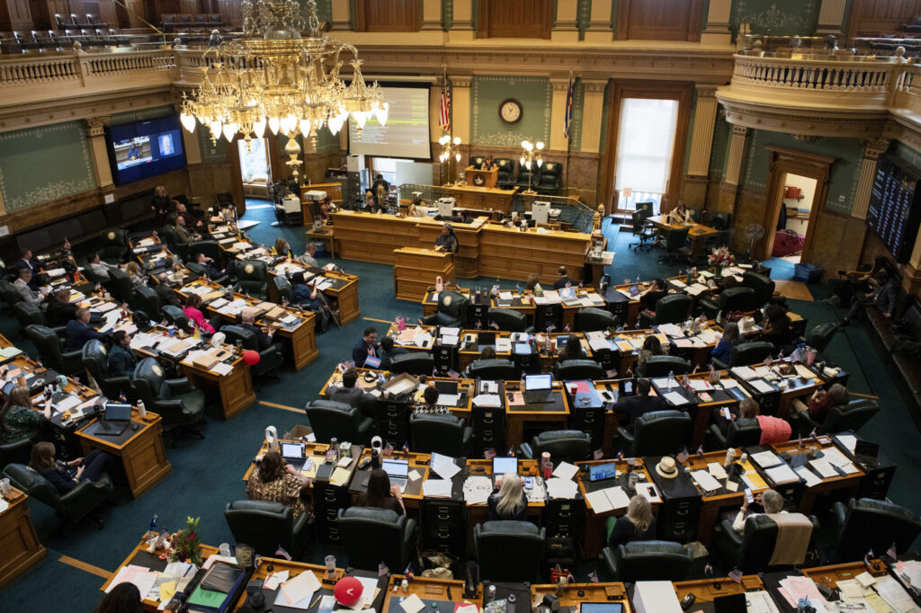
Legislation requiring employers to grant unpaid leave to Colorado lawmakers heads to governor’s desk
Marissa Ventrelli
marissa.ventrelli@coloradopolitics.com
Updated 2 hours ago
Colorado lawmakers are one step away from securing guaranteed unpaid leave from their day jobs during the legislative session, after the House narrowly approved a proposal Thursday aimed at making it easier for working‑class residents to serve in the General...
Redistricting fight escalates as Colorado Title Board clears competing ballot proposals
Marianne Goodland
marianne.goodland@coloradopolitics.com
Updated 6 minutes ago
Colorado’s title board on Wednesday gave final approval to multiple ballot measures related to congressional redistricting, setting up a series of proposals that could alter how the state draws its U.S. House districts for the 2028 and 2030 elections. The...

Trump downplays major reform bill and says housing is ‘all about interest rates’
Zach Halaschak, Washington Examiner
zach.halaschak.washington.examiner@gazetteedit.wpenginepowered.com
Updated 3 hours ago
President Donald Trump downplayed the bipartisan housing legislation that many congressional allies hope will ease the affordability worries plaguing voters, saying instead in an exclusive Washington Examiner interview that housing is “all about interest rates.” Trump said on a phone call Thursday morning...
Colorado lawmakers propose deep cuts to close $1.2B budget gap
Marianne Goodland
marianne.goodland@coloradopolitics.com
Updated 3 hours ago
The panel of Colorado legislators in charge of crafting next year’s budget has finalized the 2026–27 spending plan built on deep cuts and one‑time cash transfers in an attempt to close a shortfall of more than $1.2 billion. The plan...

Denver judge denies Gov. Polis request to dismiss ICE-related records case
Marianne Goodland
marianne.goodland@coloradopolitics.com
Updated 3 hours ago
A year after blocking the release of state records to federal immigration agents, a Denver judge has now denied Gov. Jared Polis’ effort to end the lawsuit at the center of the dispute. The lawsuit filed against the governor in...
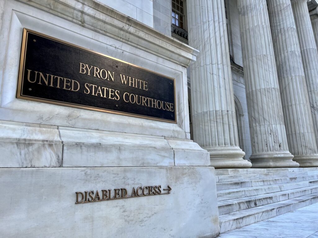
10th Circuit grants rare all-judges’ review of Colorado banking regulation
Michael Karlik
michael.karlik@coloradopolitics.com
Updated 5 hours ago
The Denver-based federal appeals court announced on Thursday that it will hold a rare all-judges review of a recent decision that permits Colorado to require out-of-state banks to abide by the state’s maximum interest rates when they lend to in-state...
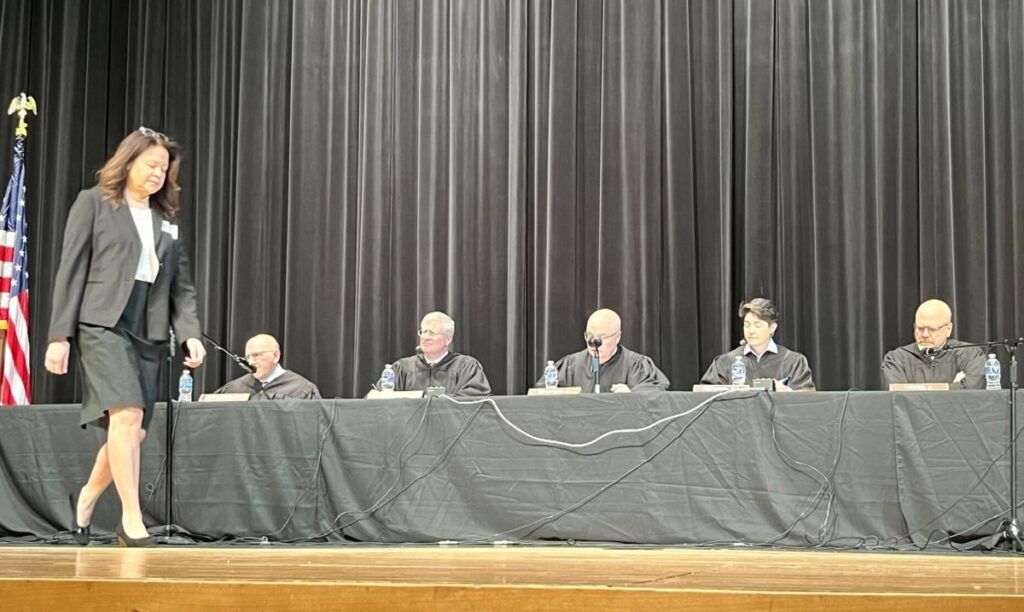
Colorado appeals court orders new sentencing for Tina Peters, upholds convictions
Michael Karlik
michael.karlik@coloradopolitics.com
Updated 6 hours ago
Colorado’s second-highest court determined on Thursday that a trial judge improperly sentenced former Mesa County clerk Tina Peters based upon her exercise of protected speech, while at the same time upholding her convictions. The three-judge Court of Appeals panel also...

Denver promised every school funding from $1B bond — but campuses later closed received far less | Analysis
Nico Brambila
nico.brambila@denvergazette.com
Updated 4 hours ago
Denver voters overwhelmingly approved the largest bond measure in Denver Public Schools history on the promise that every school — including charter campuses — would receive something. And they did. But the nearly $1 billion bond was not distributed evenly....
PREV
PREVIOUS

Vaping-related hospitalizations stabilize in Colorado
Colorado has not seen any further hospitalizations from vaping-related lung illness in nearly one month. The Colorado Department of Public Health & Environment last reported an increase on Oct. 23, with a total of 11 “outbreak cases” and nine hospitalizations. The department updates its totals weekly. A confirmed case of vaping-related lung illness involves a […]

Denver's safety department revising the way inmates' complaints are investigated, independent-monitor audit finds
Denver’s Department of Safety is revising the way that inmates’ complaints are investigated in the sheriff’s department, according to a new report by the Office of the Independent Monitor, which will share its assessments of those polices once plans are finalized. Mayor Michael Hancock and Troy Riggs, executive director of the safety department, announced in […]