

Denver targets portion of South Platte River for wildlife habitat restoration

Denver hopes to restore deteriorating fish and wildlife habitat along a 2.4 mile stretch of the South Platte River, through an U.S Army Corps of Engineers’ project.
One hundred and fifty years of urbanization in Denver, alongside flood control measures, has taken its toll on the stretch of the South Platte running through Denver.
Persistent development has “encroached into historic stream and floodplain habitats along the South Platte River and its tributaries,” an Army Corps of Engineers report said. And dams in the area have disturbed the river’s natural flow.
On Monday, the Denver City Council helped move forward an ecosystem restoration project by approving a $3.36 million design and construction pact with the Army Corps of Engineers. Through the project, officials will replenish native aquatic and riparian habitats in the area. The total restoration project cost is estimated at $11.15 million.
The Army Corps of Engineers’ project would focus on restoring a 2.4 mile portion, 200 feet on either bank, of the South Platte from approximately West Wesley Avenue downstream to West Mississippi Avenue.
This particular portion of the South Platte River is located downstream from two existing Army Corps of Engineers’ flood control dams and reservoirs in Bear Creek and Chatfield.
“While these projects provide flood risk reduction to the Denver area, the altered hydrology due to the impoundment of the river and controlled releases have severely impacted the downstream ecosystem,” an executive summary of the plan reads.
With development and the dams affecting the natural flow of the Platte River, Denver officials sought assistance from the Army Corps of Engineers in restoring wildlife and habitat.
Alongside other measures, the project will see the placement of in-stream structures such as dikes, boulder clusters and riffles that will help provide habitat and shelter for fish and other organisms that call the South Platte home.
Additionally, the plan calls for the restoration of more than 10 acres of wetland, riparian and floodplain habitats, increasing access and connectivity between different parts of the river.
Two drop structures – a man-made mechanism used to pass water to a lower elevation typically as part of a dam – near Overland Pond Park and an Xcel Energy plan will be modified to improve fish passage.

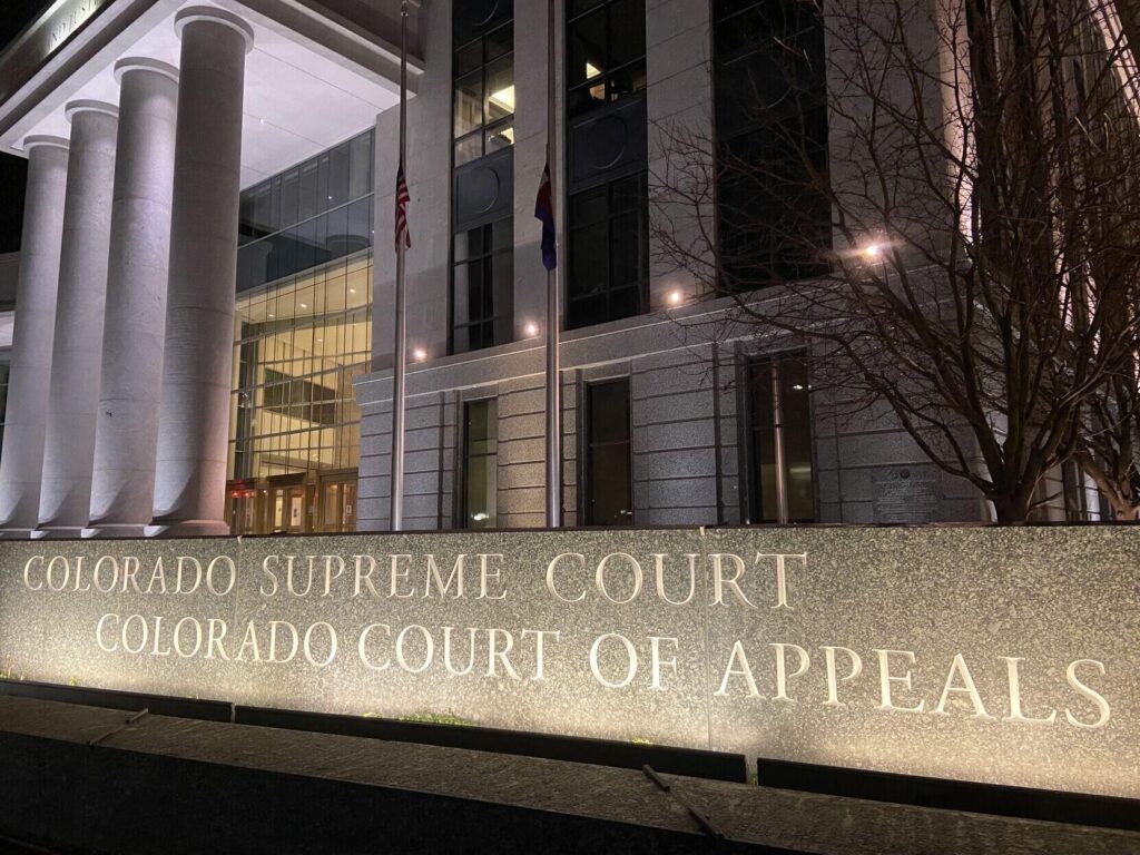
Appeals court calls out Denver judge for illogical denial of sentence reduction
Michael Karlik
michael.karlik@coloradopolitics.com
Updated 1 week ago
A Denver judge wrongly rejected a convicted defendant’s request for a sentence reduction because his stated reasons for denying the motion could not possibly have been true, Colorado’s second-highest court concluded on Thursday. Jurors convicted Brent M. Kelley in 2018...

Colorado test scores show academic performance return to pre-pandemic levels
Nico Brambila
nico.brambila@denvergazette.com
Updated 2 weeks ago
Statewide test scores released Thursday show Colorado students have returned to, or surpassed, pre-pandemic levels for all subjects and grades — with two exceptions: fourth-grade English, and English and math in eighth grade. But not in Denver. Students in Denver...

Denver layoffs have begun — here’s the latest
Deborah Smith
deborah.smith@denvergazette.com
Updated 2 weeks ago
As city of Denver employees brace for the layoffs the mayor ordered to help plug a $250 million budget deficit over the next 18 months, the Johnston administration has not divulged much information about the number or which departments will...

Salvation Army to end relationship with three Denver homeless shelters
Deborah Smith
deborah.smith@denvergazette.com
Updated 3 weeks ago
The Salvation Army will cease managing operations at three of Denver’s hotel-turned-homeless shelters after fulfilling its current contracts with the city, according to a statement from the group on Thursday. Those contracts run through 2025. Citing the need to ensure...
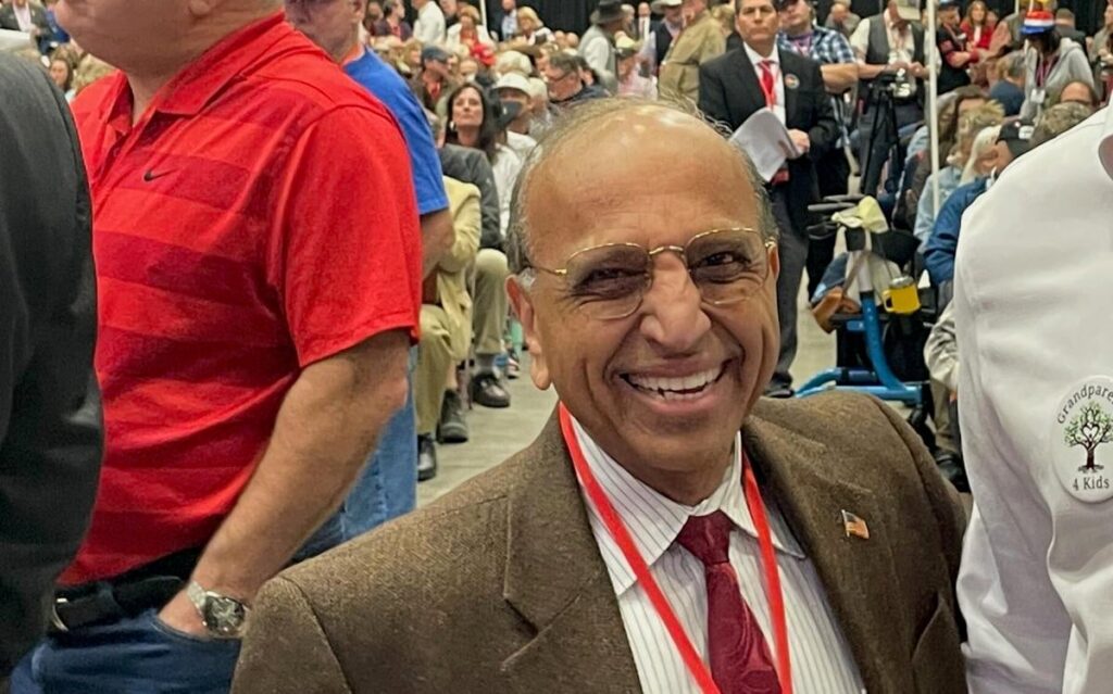
Republican Janak Joshi formally launches challenge to Colorado Democrat John Hickenlooper
Ernest Luning
ernest.luning@coloradopolitics.com
Updated 3 weeks ago
Republican Janak Joshi, a former state lawmaker from Colorado Springs, has formally launched his campaign to challenge first-term Democratic U.S. Sen. John Hickenlooper in next year’s election. Joshi, who made an unsuccessful run for Congress last year after moving to...
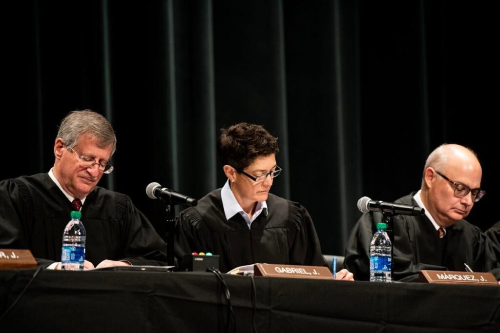
Denver judge exceeded his authority in ‘several ways’ in juvenile defendant’s case, state Supreme Court says
Michael Karlik
michael.karlik@coloradopolitics.com
Updated 3 weeks ago
'While the trial court has significant discretion regarding the presentation of evidence and the application of the rules of evidence, there are limits,' wrote the justices
Colorado Democrats unveil new method, promise transparency in funding bills
Marianne Goodl
marianne_goodl@coloradopolitics.com
Updated 2 months ago
Democrats in the Colorado General Assembly unveiled a new process for deciding which bills will get funded in the remaining weeks of the 2024 session – and, this time, they promised transparency that would allow the public to see how...

Colorado Republicans claim bill to ban lawmakers from bringing guns in Capitol is unconstitutional
Marianne Goodl
marianne_goodl@coloradopolitics.com
Updated 2 months ago
Senate Republicans on Tuesday charged that legislation seeking to effectively ban lawmakers from bringing firearms into the state Capitol is unconstitutional. Senate Bill 131, as introduced, would have banned firearms, including concealed weapons, from 19 identified “sensitive spaces,” including schools,...

Hundreds in Denver rally to support Ukraine on 2nd anniversary of Russian invasion
Ernest Luning
ernest.luning@coloradopolitics.com
Updated 2 months ago
Hundreds of Ukraine supporters gathered at a rally at the Colorado state Capitol in Denver on Saturday to mark the second anniversary of Russia’s invasion of the U.S. ally. “Today, we are asking members of U.S. Congress to step up...

Denver’s presiding juvenile judge steps down amid misconduct investigation
Michael Karlik
michael_karlik@coloradopolitics.com
Updated 2 months ago
The longtime presiding judge of the Denver Juvenile Court, D. Brett Woods, retired from the bench on Friday amid a misconduct investigation whose details are still unclear. “I am proud of my work in the area of juvenile justice,” Woods...
PREV
PREVIOUS

Colorado's Lamborn works to break logjam on military pay raises, construction cash
More than 40,000 active-duty troops in the Pikes Peak region will have to wait at least an extra two months for pay raises, as the bases where they serve await cash for construction projects and the Space Force delays its launch due to congressional wrangling. Money for pay raises, projects and programs such as the […]

Colorado lawmaker invited to White House for Hispanic Heritage Month
Colorado state Rep. Dave Williams is among those invited to the White House by President Donald Trump for an event in honor of Hispanic Heritage Month. The Sept. 27 event “will celebrate the positive contributions Hispanic-Americans have made to the United States,” according to a Thursday press release from the Colorado House Republicans. “It’s an […]