

Insights: Where’s the ‘Front Range’? In Colorado politics, it’s where the votes are
The words “Front Range” are often used in Colorado, particularly in newspapers, but few in Colorado seem to know exactly what the words mean. When asked about the Front Range, many Coloradans will answer, “The range of mountains that run to the west of Denver, Colorado Springs, Pueblo, etc.”
To political leaders and demographers, however, the Front Range is the heavily urbanized north-south strip of cities and suburbs that sits at the foot of the mountains, extending from Pueblo on the south through Colorado Springs and Denver Metro to Fort Collins and Greeley on the north.
Further confusing the situation, there actually is a Front Range of mountains. They form the western boundary of Boulder County and are one of the mountain ranges running along the Continental Divide through Rocky Mountain National Park.
Front Range is used even if its exact meaning is unclear. There are more than 60 businesses with Front Range in their name listed in the Colorado Springs telephone directory.
For purposes of voting analysis, we define the Front Range as the populous counties, plus Broomfield and Teller counties, that run south to north from Pueblo to Fort Collins and Greeley. Thus: Pueblo, El Paso (Colorado Springs), Teller (Cripple Creek), Denver, Douglas (Castle Rock), Jefferson (Golden), Arapahoe (Littleton), Adams (Brighton), Broomfield, Boulder, Larimer (Fort Collins), and Weld (Greeley) counties.
This is also the definition of Front Range used by the Colorado demographer in the state Department of Local Affairs.
The Front Range constitutes Colorado’s mini-version of a megalopolis, a string of cities linked together in a corridor. It is our own little Bos-Wash (Boston to Washington), the interconnected urban area that runs up the northeastern coast of the United States.
For people who like cities, and the intellectual and cultural activities that flourish in cities, the Front Range is a major addition to their quality of life. It is loaded with some of the state’s best public colleges and universities (University of Colorado, Colorado State University, University of Colorado at Colorado Springs, Colorado School of Mines, Colorado State-Pueblo, etc.). Art museums, local musical venues, and theater groups thrive up and down the Front Range.
The Front Range is also known for its congested and drab strip retail streets, such as Colfax Avenue in Denver and Academy Boulevard in Colorado Springs.
Most Coloradans understand that the state’s population is concentrated on the Front Range. Year in and year out, it contains more than 80 percent of the people in Colorado. In the 2016 presidential election, 83 percent of the statewide two-party (Democrat/Republican) vote in Colorado was cast on the Front Range.
Because rural Colorado (actually non-Front Range Colorado) is so Republican, the Democrats have to poll a formidable lead on the Front Range in order to win Colorado statewide elections. That is what happened in 2016. Democrat Hillary Clinton polled 55 percent of the two-party vote on the Front Range, enough to enable her to carry the state with 53 percent of the two-party vote.
One effect of so many people living and voting on the Front Range in Colorado is that candidates for statewide office can campaign up and down I-25 and reach most of the state electorate without having to drive great distances. Short detours off of I-25 are required – U.S. 36 to get to Boulder, U.S. 85 to get to Greeley and U.S 24 to get to Woodland Park.
Candidates who want to campaign up in the mountains or out on the Eastern Plains have to do a lot of driving (or flying sometimes) to reach relatively small numbers of voters. What many statewide candidates do is visit the mountains and the Eastern Plains early in the campaign, then concentrate those last critical weeks before Election Day pursuing votes on the Front Range.
By the way, the word “Front” underscores that our nation grew from east to west and this was the first, or “Front,” range of mountains. Note that we don’t refer to Rifle, Ridgway, and Durango as on the Back Range, but rather on the “Western Slope.”
Then there is “Post Card” Colorado. It sits in a rough quadrangle from Cañon City to Estes Park to Craig and to Sawpit (okay-that’s near Telluride) and then back to Cañon City. Within or close to this quadrangle are most of Colorado’s 14,000-foot mountains, its several national parks, its destination ski areas, its best rivers for fishing and rafting, and many of its national forests.
Only about 7 percent of the two-party presidential vote was cast in Post Card Colorado in 2016, but this is the Colorado we play in – and came to Colorado to be close to.
The tourist brochures and the calendars disproportionately concentrate on this part of Colorado. There are some splendidly scenic spots on the Front Range, such as the Garden of the Gods in Colorado Springs, Red Rocks amphitheater outside of Denver, the Flat Irons in Boulder, etc., but the incomparable natural beauty of Colorado is in the Post Card part of the state.
Post Card Colorado has wealthy areas, such as Aspen and Vail, although few Front Range residents get to these upscale places except for meetings and conferences. Post Card’s economy is a blend of tourism, agriculture, mining and energy. Post Card Colorado splits its vote. The ski resort areas trend Democratic while the less-gentrified counties like Delta and Montrose trend Republican.
There are other areas of the state including the Eastern Plains, Southern Colorado and greater Grand Junction. Each of these is distinctive and has natural beauty and appeal. But, in general, the vast majority of Coloradans live along the Front Range and regularly plot to head westward to recreate and savor the ever beckoning Post Card Colorado.
Tom Cronin and Bob Loevy are political scientists at Colorado College.
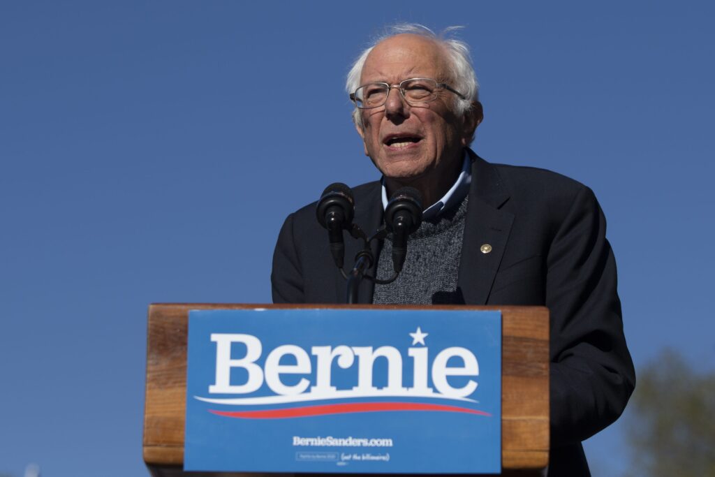
Bernie Sanders says Trump is lying after ‘A+++++’ rating on the economy
Sydney Topf, Washington Examiner
sydney.topf.washington.examiner@gazetteedit.wpenginepowered.com
Updated 6 minutes ago
Sen. Bernie Sanders (I-VT) said President Donald Trump can “lie all that he wants” after Trump gave himself an “A+++++” on his performance regarding the economy. “If this is an A+++ economy, God help us if we ever get to...
Judge blocks Trump’s LA troops deployment for third time after getting overruled twice
Jack Birle, Washington Examiner
jack.birle.washington.examiner@gazetteedit.wpenginepowered.com
Updated 9 minutes ago
U.S. District Judge Charles Breyer blocked President Donald Trump‘s use of the California National Guard for a third time on Wednesday, despite an appeals court halting Breyer’s two previous orders stopping the deployment of troops to Los Angeles. Breyer granted...
Judge Boasberg seeks testimony from DOJ ‘whistleblower’ in criminal contempt inquiry
Kaelan Deese, Washington Examiner
kaelan.deese.washington.examiner@gazetteedit.wpenginepowered.com
Updated 15 minutes ago
Chief U.S. District Judge James Boasberg this week pushed forward his fact-finding inquiry into whether Justice Department officials under the Trump administration deliberately defied his emergency order blocking the removal of more than one hundred Venezuelan detainees to El Salvador...

Haley Stevens introduces articles of impeachment against RFK Jr.: ‘Self-created threat’
Brady Knox, Washington Examiner
brady.knox.washington.examiner@gazetteedit.wpenginepowered.com
Updated 20 minutes ago
Rep. Haley Stevens (D-MI) introduced articles of impeachment against Health and Human Services Secretary Robert F. Kennedy Jr. on Wednesday for threatening the country’s health. Stevens, who is running for Michigan’s open Senate seat in 2026, has targeted Kennedy with...
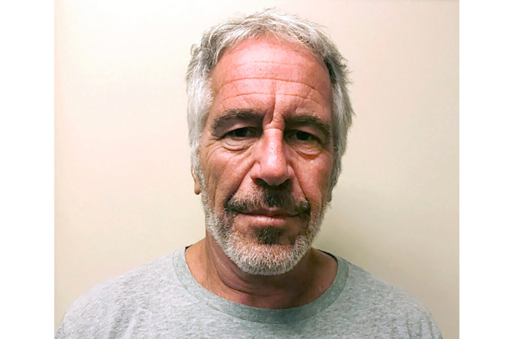
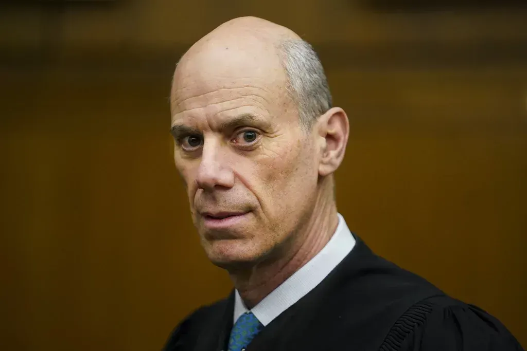
Third judge rules DOJ can unseal Epstein grand jury records from sex trafficking case
Kaelan Deese, Washington Examiner
kaelan.deese.washington.examiner@gazetteedit.wpenginepowered.com
Updated 22 minutes ago
A federal judge in New York cleared the way for the Justice Department to release long-sealed grand jury materials from its sex-trafficking investigation into the late disgraced financier Jeffrey Epstein, marking another major step in the government’s race to comply...

Musk says he wouldn’t do DOGE again if given the chance
Brady Knox, Washington Examiner
brady.knox.washington.examiner@gazetteedit.wpenginepowered.com
Updated 25 minutes ago
Elon Musk voiced a negative retrospective view of his grand government reform project, the Department of Government Efficiency, saying he wouldn’t do it again if given the chance. In an interview on Katie Miller’s podcast, Musk was asked if, knowing...
Democrats set expanded targets after surprise victories in Florida and Georgia
Emily Hallas, Washington Examiner
emily.hallas.washington.examiner@gazetteedit.wpenginepowered.com
Updated 29 minutes ago
A string of election victories on Tuesday has Democrats bullish about the midterm elections, leading them to expand their target map for 2026. In an upset win, the party flipped the Miami mayorship blue for the first time in nearly...

Top US political figures lend legitimacy to Qatari forum allied with array of anti-American groups
Robert Schmad, Washington Examiner
robert.schmad.washington.examiner@gazetteedit.wpenginepowered.com
Updated 36 minutes ago
Former Secretary of State Hillary Clinton, Donald Trump Jr., Bill Gates, Tucker Carlson, and a host of other U.S. political figures have all descended on the Qatari capital of Doha in recent days to discuss an array of current events....
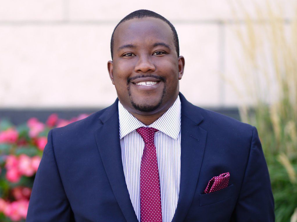
Colorado Parks and Wildlife Commissioner Murphy Robinson resigns
Marianne Goodland
marianne.goodland@coloradopolitics.com
Updated 17 hours ago
Murphy Robinson, who has served on the Colorado Parks and Wildlife Commission for just over a year, announced his resignation on Wednesday. In a statement, Gov. Jared Polis thanked Robinson, saying he is “incredibly grateful for Murphy’s service to the...
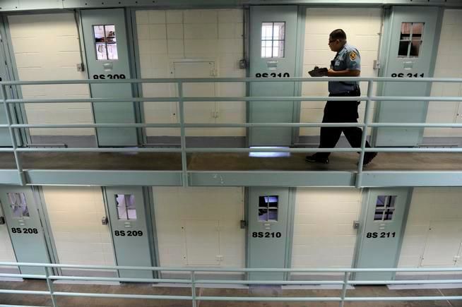
DOJ launches investigation into Colorado prison, youth facility conditions
Cleo Westin
cleo-westin@coloradopolitics.com
Updated 2 hours ago
The U.S. Department of Justice has opened an investigation into possible constitutional violations of Colorado prisoners through inadequate treatment and transgender housing policy, according to federal authorities. The department’s letter of notice to Gov. Jared Polis on Monday identified housing...